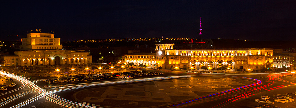


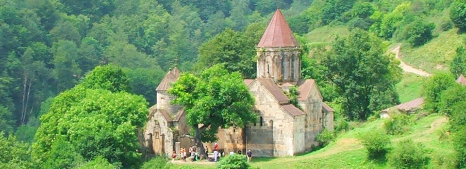


Territory
Republic of Armenia lies between latitudes 38° and 42° N, and meridians 43° and 47° E. It’s a mountainous country in the South Caucasus region of Eurasia. Located in the north of Western Asia, it is bordered by Turkey to the west, Georgia to the north, the de facto independent Nagorno-Karabakh Republic and Azerbaijan to the east, and Iran and the Azerbaijani exclave of Nakhchivan to the south.
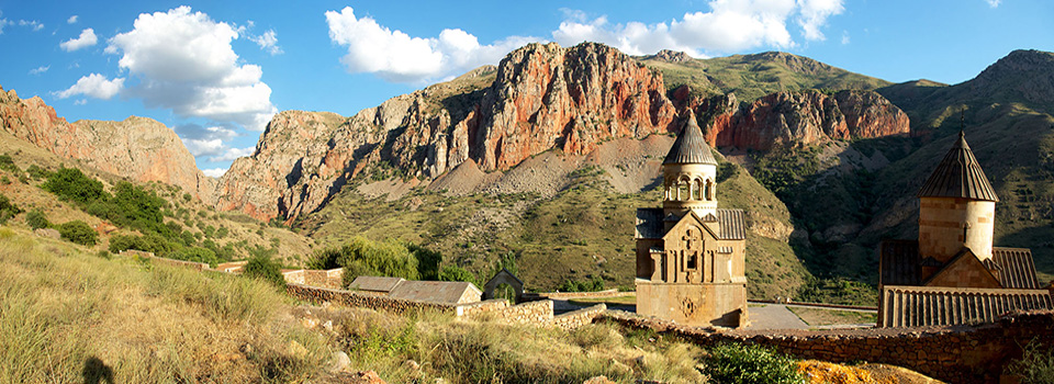
The Republic of Armenia covers an area of 29,743 square kilometres. The land rises to 4,090 metres above sea-level at Mount Aragats, and no point is below 390 metres above sea level.
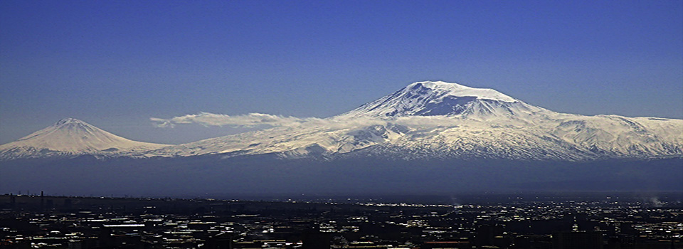
Mount Ararat , which was historically part of Armenia, is the highest mountain in the region. Now located in Turkey. An elevation of Mount Ararat is 5,165 m.